About UTG Ireland
Ireland's specialists in underground utility detection and survey services.
A Trusted Partner for Underground Surveys
UTG Ireland is a specialist utility survey company serving clients across the island of Ireland. Founded by experienced surveyors with deep roots in civil engineering, we combine technical expertise with the latest survey technology to help our clients avoid costly underground utility strikes and plan their projects with confidence.
From major infrastructure projects and road upgrades to pre-purchase site investigations and drainage surveys, our team has the skills, equipment, and methodologies to deliver accurate, reliable results — every time.
Accuracy First
We use validated, multi-technology methodologies to ensure the highest possible detection accuracy on every project.
Fast Turnaround
We understand that deadlines matter. Reports are typically delivered within 24–48 hours of site completion.
Client-Focused
Every client is different. We tailor our approach to your specific project needs, timeline, and budget.
Certifications & Standards
We operate to the highest industry standards to keep your project compliant and your team safe.
Fully Insured
Public liability and professional indemnity insurance for complete peace of mind.
PAS 128 Compliant
All utility mapping surveys follow the BS PAS 128 specification for underground utility detection and verification.
Safe Pass Trained
All site operatives hold valid Safe Pass cards and are trained in Construction Health & Safety.
Manual Handling
Manual handling training completed by all field survey personnel in line with HSA guidelines.
Road Opening Permit Ready
Our team are experienced in working within live traffic management environments.
Confined Space Trained
Manhole inspection teams are trained in confined space entry procedures and rescue protocols.
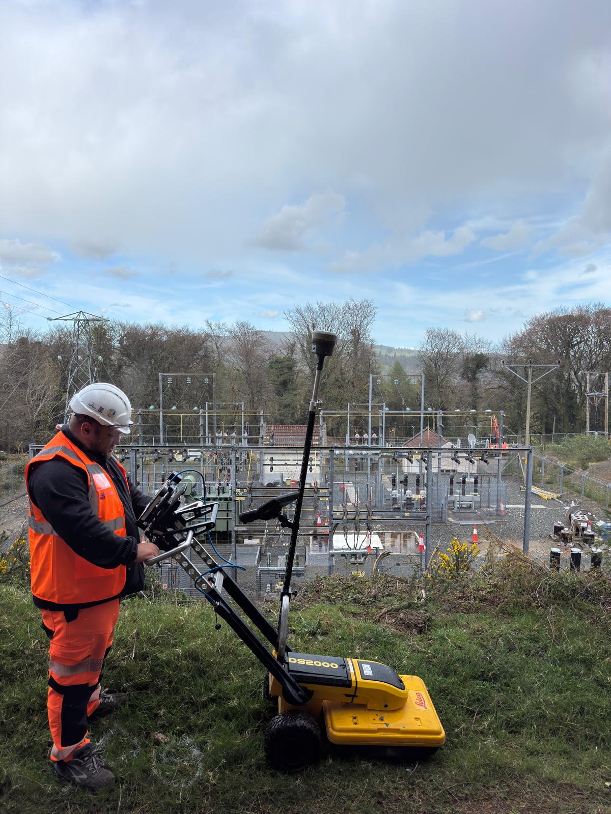
Key Equipment
We invest in industry-leading survey equipment to ensure the best possible results for every client.